
Geography
The United Kingdom, consisting of Great Britain (England, Wales andScotland ) and Norhen Ierland is twice the size of New York State. England, in the southeast part of the British Isles, is separated from Scotland on the north by the granite Cheviot Hills; from them the Pennine chain of uplands extends south through the center of England, reaching its highest point in the Lake District in the northwest. To the west along the border of Wales—a land of steep hills and valleys—are the Cambrian Mountains, while the Cotswolds, a range of hills in Gloucestershire, extend into the surrounding shires.Important rivers flowing into the North Sea are the Thames, Humber, Tees, and Tyne. In the west are the Severn and Wye, which empty into the Bristol Channel and are navigable, as are the Mersey and Ribble.
London
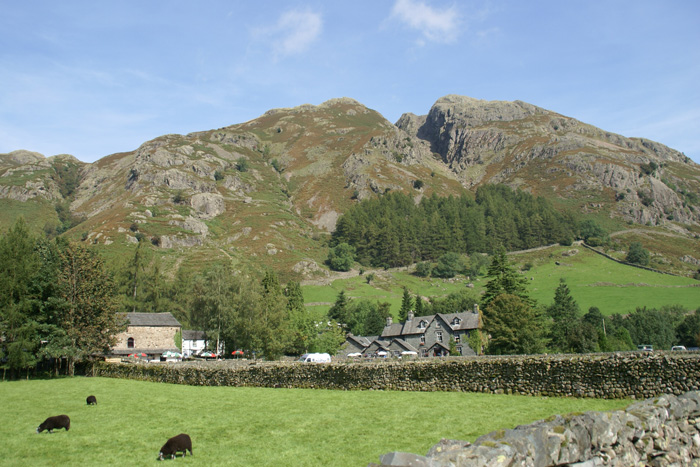
THE LAKE DISTRICT
Eskdale

THE Landon Eye

Scotland
About Edinburgh Castle
Edinburgh Castle is the number one visitor attraction in Scotland with over one million visitors every year. It's located at the heart of Scotland's Capital and the views of the City from its battlements are amazing.

Eilean donan castle of scotland

Northen IRELAND


National animals and Birds
Loin

Red deer

European Robin

Mute Swan

Red kites

Bulldog

Red Fox


0 comments:
Post a Comment