Map of Angola
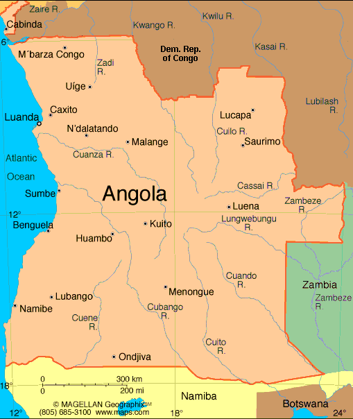
Angola, more than three times the size of California, extends for more than 1,000 mi (1,609 km) along the South Atlantic in southwest Africa. The Democratic Republic of the Congo and the Republic of Congo are to the north and east, Zambia is to the east, and Namibia is to the south. A plateau averaging 6,000 ft (1,829 m) above sea level rises abruptly from the coastal lowlands. Nearly all the land is desert or savanna, with hardwood forests in the northeast.
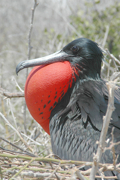
National animal(Magnificent Frigatebird)

0 comments:
Post a Comment