
Map of Algeria
Geography
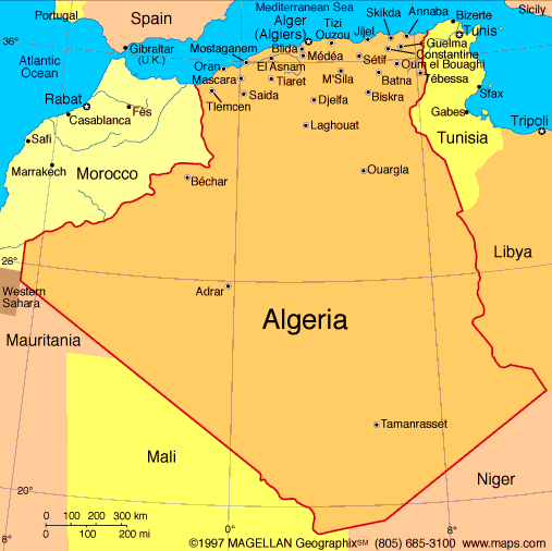
Nearly four times the size of Texas, Algeria is bordered on the west by Morocco and Western Sahara and on the east by Tunisia and Libya. The Mediterranean Sea is to the north, and to the south are Mauritania, Mali, and Niger. The Saharan region, which is 85% of the country, is almost completely uninhabited. The highest point is Mount Tahat in the Sahara, which rises 9,850 ft (3,000 m).
(national animal) Fennec Fox


0 comments:
Post a Comment